
|


The Following Options Are Available:
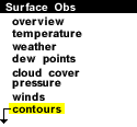
The various contours available for surface images include:
This section has been designed to
explain what each feature represents and how to interpret them on
weather maps.
More Extensive Resources Include:
The Pressure Module - An Online Guide To Meteorology
![]() What are Isobars?
What are Isobars?
![]() Wind Direction and Isobars
Wind Direction and Isobars
![]() What are Isotherms?
What are Isotherms?
![]() What are Isodrosotherms?
What are Isodrosotherms?
![]() For more on Contouring
For more on Contouring
|
Surface Obs |
|
isobars |