|
Upper Air Data
for the veteran's day storm
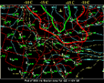
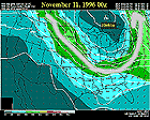
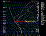
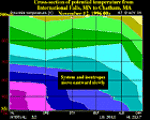
The following analyses are derived from upper air observations across the
US and North America. These upper air conditions are a recorded using
radiosonde or rawinsonde balloon ascents that normally occur twice daily.
Observations from commercial aircraft instruments, as well as satellite
vertical "sounding" data augment the balloon observations which composes
the standard upper air observational network. This is the sole source of
data that might give a three-dimensional look at the atmosphere.
However, the upper air data is sparser and reported less frequently than
surface data, thus it is not possible to analyze upper air weather in the
same detail as we look at surface weather. This is a decided disadvantage
when looking at lake effect storms, since they often occur at a scale
which is smaller than that of the upper air observational network.

Radar Imagery
|
|

850 mb
|
|


