
|


This is how some multicell cluster storms will appear as they approach, again assuming good visibility. The ominous shelf cloud, appearing like a mustache with this storm, is the leading edge of the storm outflow. Observe the rain-free updraft bases ahead of and above the shelf cloud. (Near Monahans, TX, 1977).
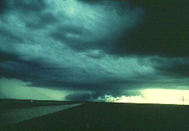
Photograph by: Moller
The storm was unusually severe, packing hail from 1 to 3 inches in diameter and 70 MPH winds. Most of the hail was from 1/2 to 1 inch in diameter. Looking east, note the steam fog arising from the fresh hailfall, as the storm ends.
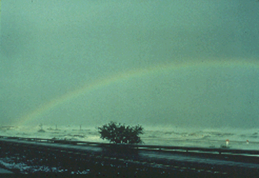
Photograph by: Moller
From the backside we watch as the same storm cluster moves away to the east. Observe the southeastward-tilt of the clouds in the short flanking line and the precipitation area to the east. The flow aloft was from northwest to southeast (rather than southwest to northeast), influencing the tilt of the storm tops.
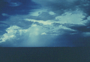
Photograph by: Moller
It is curious that this storm showed updrafts on the leading (east) edge as it approached, and on the back (northwest) side as it moved off. The storm was definitely multicellular, although not as "clear-cut" about preferred updraft locations as other multicell storms we have viewed. Again, nature does not always allow us to label and catalog everything neatly!
Concerning storms in northwest flow aloft, it has been observed that the updraft area frequently shifts to the southeast flank, when rain-cooled air keeps warm, southerly winds from providing a continual feed to the northwest flank updrafts. Thus, with this storm it is possible that the leading (southeast flank) updraft area became predominant once heavy precipitation began, with the northwest updraft area no longer benefiting from the "prime" air.
|
life cycle |
|
Multicell Lines |