|

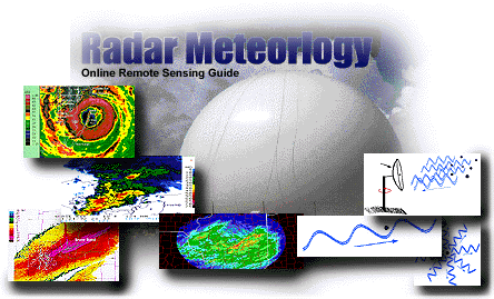
Graphic by: Steven E. Hall
Radars have an important role in the field of meteorology. These devices send out and receive signals providing valuable information about the location and intensity of precipitation. Advanced Doppler radar technology goes beyond simple detection to providing high resolution reflectivity and estimated velocity data, which is vital to short term forecasting and severe weather prediction. The purpose of this module is to introduce the basics of radar meteorology, features of WSR-88D and MDR radar imagery, and how to interpret Doppler velocity patterns. The Radar Meteorology module has been organized into the following sections:
| Sections
Last Update: 07/23/97 |
Radar Basics
The sending and retrieving of signals, detecting a target and different scanning modes.
Radar Imagery
Velocity Patterns
Applications
Acknowledgments
|
The navigation menu (left) for this module is called "Radars" and the menu items are arranged in a recommended sequence, beginning with this introduction. In addition, this entire web server is accessible in both "graphics" and "text"-based modes, a feature controlled from the blue "User Interface" menu (located beneath the black navigation menus). More information about the user interface options, the navigation system, or WW2010 in general is accessible from About This Server.

Remote Sensing |
|

Radar Basics |


