
|

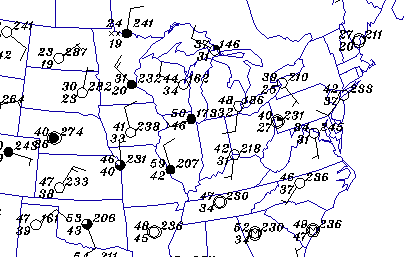
map of surface observations
Activity Overview:
As the Internet became more and more publicly accessible, a number of
corporate institutions (like
Intellicast) and educational institutions (like the
University of Illinois) have
developed web servers that provide
real time weather data to Internet users. Anyone with a computer and an
Internet connection is able to connect with such a web site and access
information like the latest satellite image, surface map and forecasts.
Many of the weather products available on the web are pregenerated, they are generated at preset times with preset features. The user has the ability to download these images, but has no control over what features appear on the image. Here is an example.
The Department of Atmospheric Sciences at the University of Illinois Urbana-Champaign has designed a visualization tool that allows the user to created his/her own customized weather maps. You have the ability to decide what features appear on the final image. Like filling out a shopping list, the user clicks on (selects) the features to be placed on the weather map, the order is sent and a minute later the custom image is returned.
Accessing Current Weather Data:
Use the Weather Visualizer
(
CoVis version
or the
public version)
to access the latest "surface observations" for Chicago,
Illinois. Record the following pieces of data:
| Weather: |
Here are some additional instructions on how to use the Weather Visualizer.
Additional Resources for Accessing Surface Weather Data:
Surface weather data can be accessed from many sites on the Internet.
A list of weather web sites have been given below as fairly reliable
sources of weather data, in case the Weather Visualizer is overloaded.
- WXP Purdue
- Ohio State University
- Northern Illinois University
- University Corporation of Atmospheric Research
|
project handbook |
|
wx resources |