
|

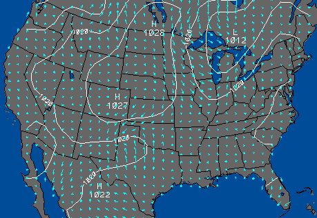
surface map of pressure and wind vectors
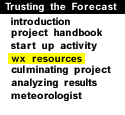
The table below is a short list of other available
weather resources (compiled by Brian Jewett).
Feel free to use these resources in addition to or in
combination with the Weather Visualizer
(
CoVis version or
the
public version)
to access current weather data and to make a forecast. Click on the green
button at left to do so.
| Data | Source | Available information |
|---|---|---|
| Local data | Illinois, Ohio State | LivePix | CMI | Obs. | Fcst. | Zones | Discussion | State | Roads |
| Satellite | Wisconsin, Illinois | Visible picture | Infrared | Water Vapor | visualizer |
| NCAR-RAP | Closeup: Minneapolis | Wichita | Denver | Detroit | |
| Radar | WxChnl, Intellicast | National map | Illinois closeup |
| Surface maps | Weather Channel |
current weather map |
severe weather outlook |
| Illinois | U.S. wind, temp. | Illinois wind, temp. | 9-panel image | |
| Live Camera |
WeatherNet, EyeOnTheWorld |
San Francisco | PikesPeak | Lincoln | Minneapolis | Chicago | St.Louis | Cinci. | New York | Tampa | Calgary! |
| Tropical wx. | Illinois | Advisory statement | Forecast track | Local statements |
| Data | Source | Update | Available information |
|---|---|---|---|
| Surface maps | Weather Channel | Twice daily? |
This afternoon |
Next morning |
Next aftn Forecast low temps | Forecast high |
| Short-range | Purdue, UNCC | Twice daily |
12-hour |
24-hour |
36-hour |
48-hour 0-48h (4-panel) | 0-72h (6-panel) |
| 3-day, regional | COLA | Daily | West:
Today |
Tomorrow |
Day-3 Central: Today | Tomorrow | Day-3 East: Today | Tomorrow | Day-3 |
| Long-range | Purdue | 6am daily | 2-10 days (9-panel, USA) | Europe (9-panel) |
|
start up activity |
|
culminating project |