
|

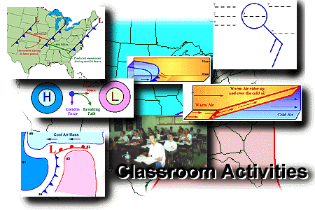
Graphic by: Steven E. Hall
The following classroom activities introduce a variety of fundamental topics in meteorology. All necessary data and instructional resources are accessible from each activity. In addition, each activity is accompanied by a corresponding teacher guide (or answer key). Up to 90 minutes of classroom time may be needed to complete each activity.
| Activities
Last Update: 07/12/97 |
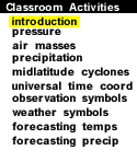
Pressure
Atmospheric pressure, high and low pressure centers, and the pressure gradient force.
Air Masses
Precipitation Along Fronts
Midlatitude Cyclones
Coordinated Universal Time (UTC)
Surface Observation Symbols
Current Weather Symbols
Forecasting Temperatures
Forecasting Precipitation
|
The navigation menu (left) for this module is called "Classroom Activities" and the menu items are arranged in a recommended sequence, beginning with this introduction. In addition, this entire web server is accessible in both "graphics" and "text"-based modes, a feature controlled from the blue "User Interface" menu (located beneath the black navigation menus). More information about the user interface options, the navigation system, or WW2010 in general is accessible from About This Server.
|
Trusting the Forecast |
|
pressure |