
|

Geopotential height approximates the actual height of a pressure surface above mean sea-level. Therefore, a geopotential height observation represents the height of the pressure surface on which the observation was taken. A line drawn on a weather map connecting points of equal height (in meters) is called a height contour. That means, at every point along a given contour, the values of geopotential height are the same. An image depicting the geopotential height field is given below.
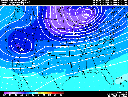
Height contours are represented by the solid lines.
The small numbers along the contours are labels which identify the value of a
particular height contour (for example 5640 meters, 5580 meters, etc.).
|